Today
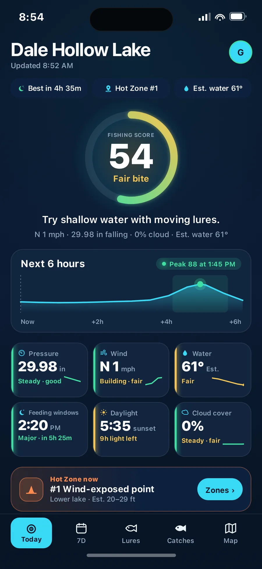
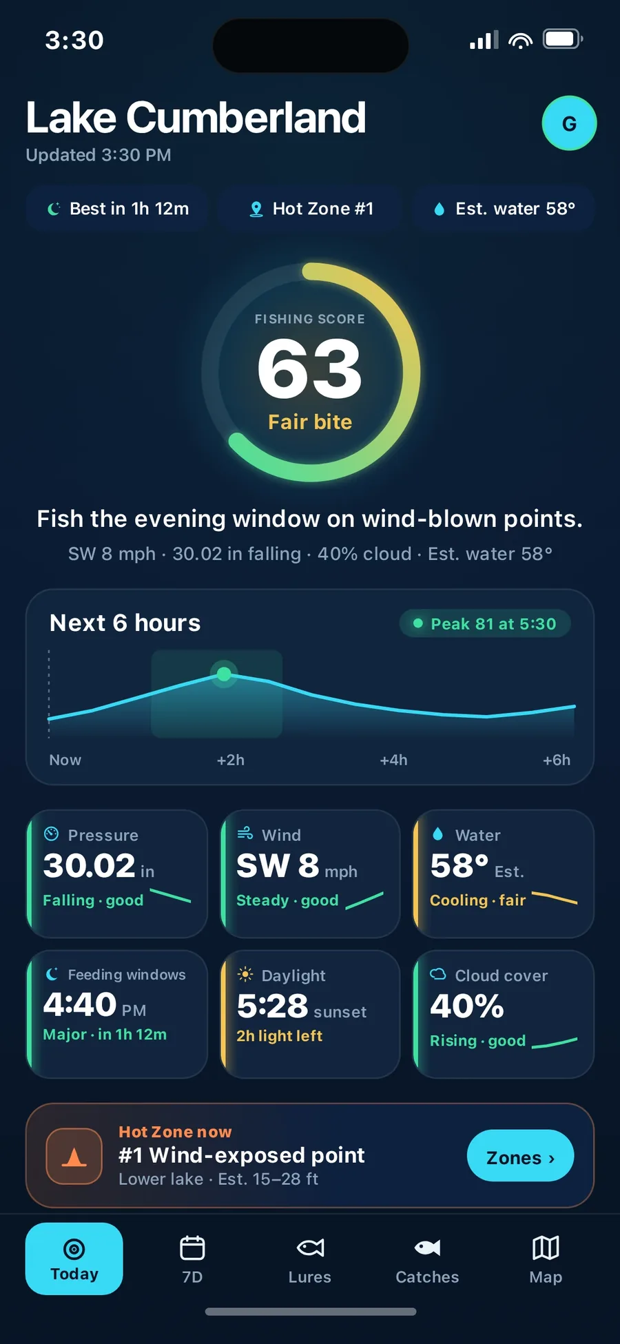
One score for today's conditions.
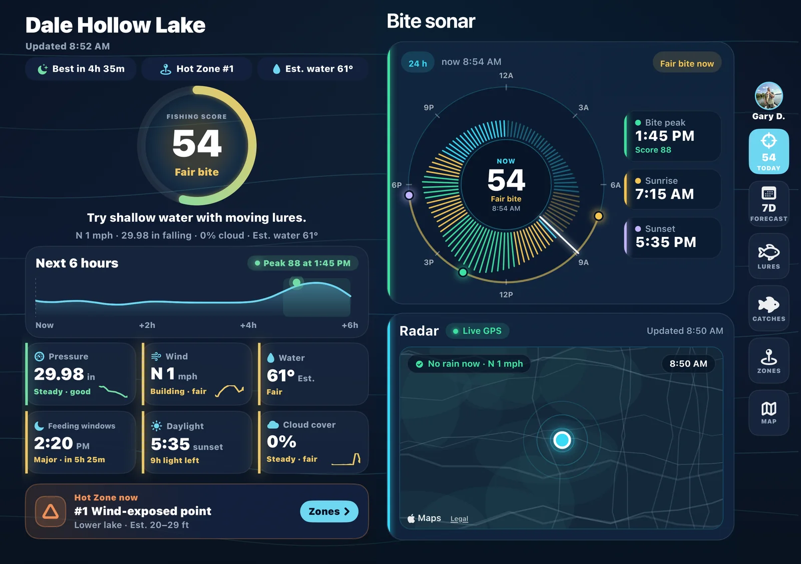
Pressure, wind, water, light and feeding windows rolled into a single read — with six condition boxes and the next six hours charted. A conditions read, not a catch promise.
Available on iPhone
Conditions, Live radar, lake charts and a 24-hour bite forecast for the water you actually fish — in one app. Check it before you hook up the boat, not at the ramp.
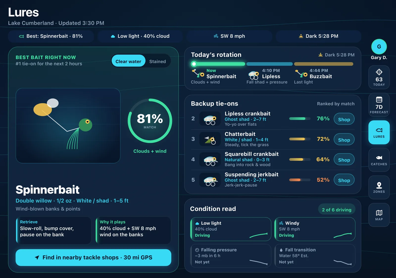
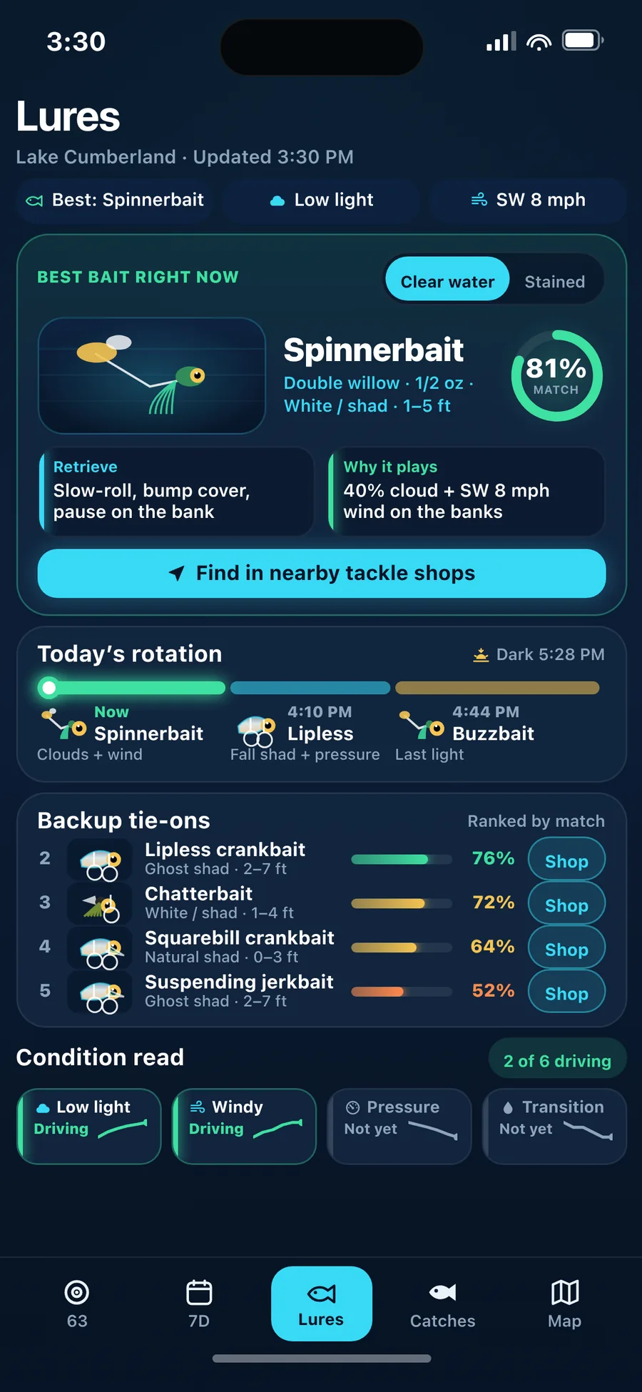
A regular iPhone, or unfolded. Unfolded, Lures puts the best bait, today’s rotation and backup tie-ons side by side, with a slim rail on the right.
All in one
Stop bouncing between seven apps before every trip. Ofishal Forecast reads the conditions for the lake you pick and puts the answer on one screen.
Tap one to see it in the app
Instead of a weather app
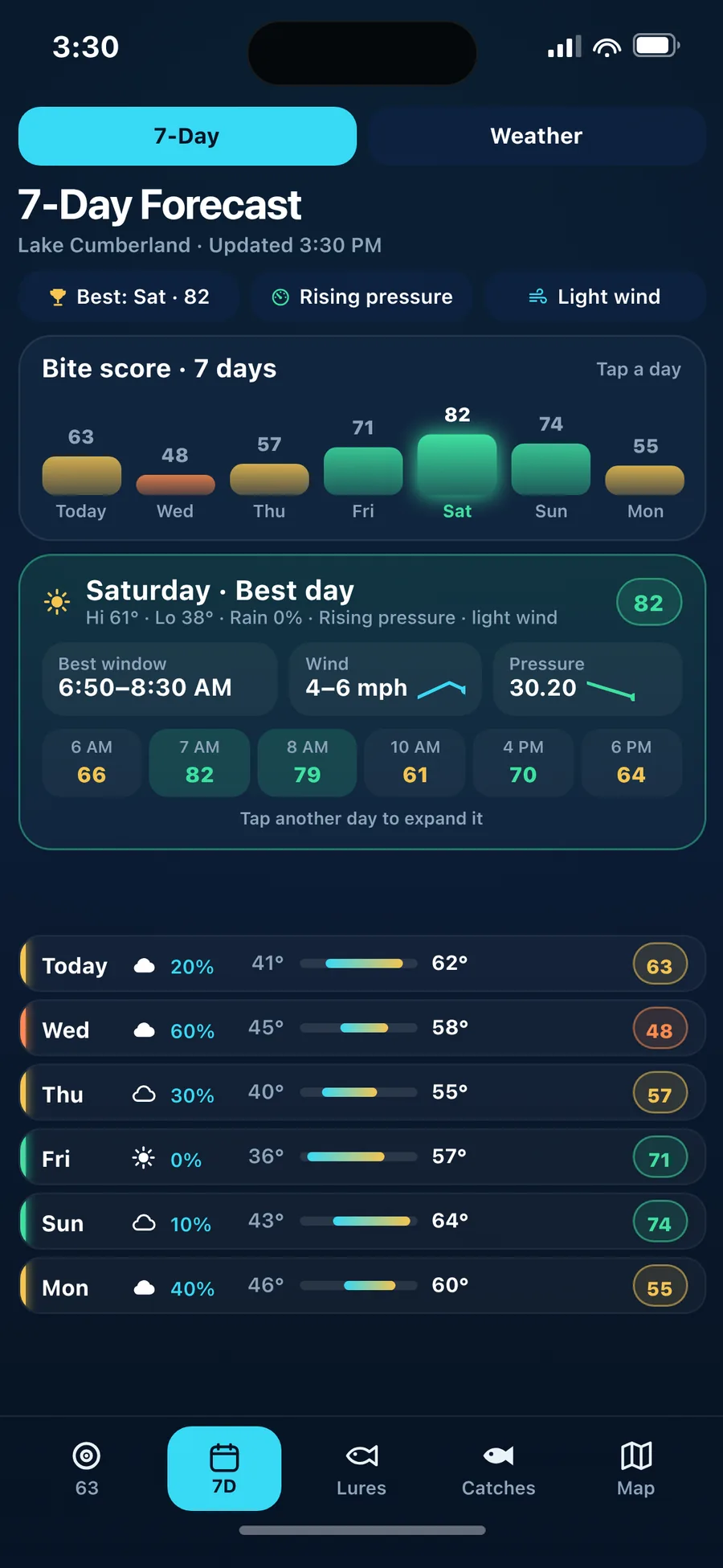
Wind, pressure, cloud cover, rain chance and highs and lows for the lake you pick, on Today and the 7-Day Forecast, with every day scored for fishing.
Weather · 7-Day
Instead of a radar app
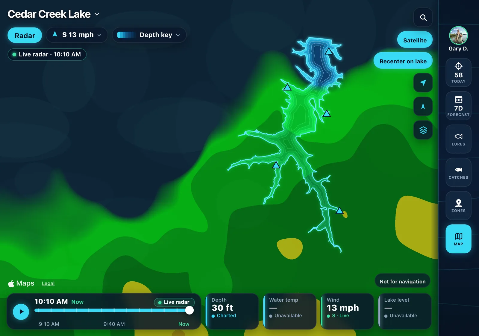
Live national radar sits right on your lake chart. It plays the past hour, 5 minutes apart, ending at Now.
Map · Live radar
Instead of a separate lake chart
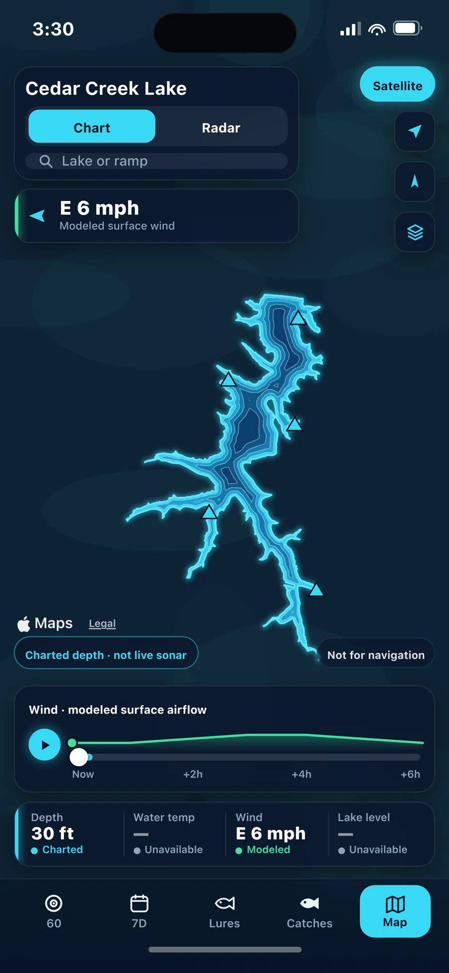
The Map tab opens a lake chart with depth contours and boat ramps. Depths are charted or estimated. They are not live sonar. Not for navigation.
Map · Lake chart
Instead of a moon table
Solunar feeding windows, the major and minor periods set by the moon, are built into the bite score, with sunrise and sunset on the Bite Sonar dial.
Today · Bite Sonar
Instead of a fishing log
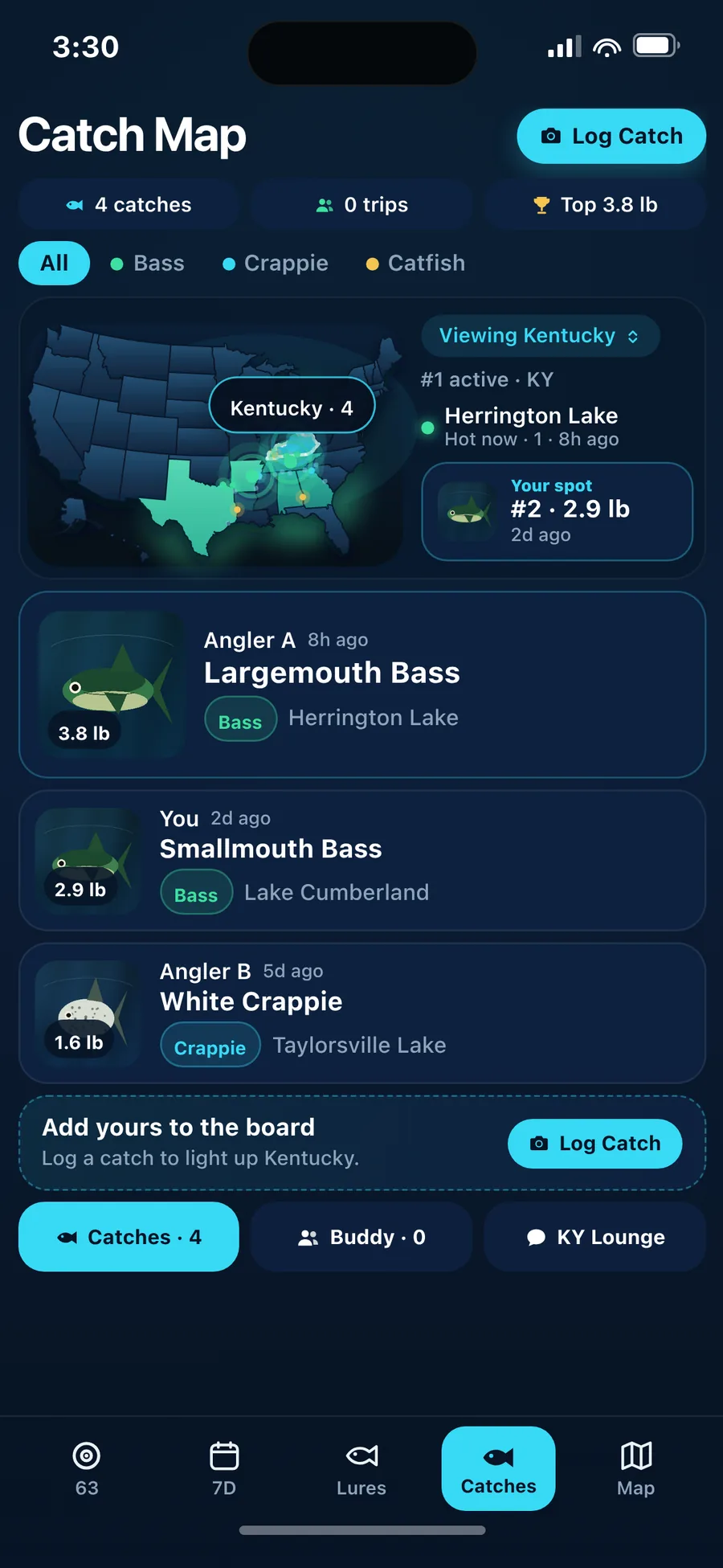
Log a catch with a photo and it lands on your state’s Catch Map by species. Public posts store the lake name and state, not GPS.
Catches · Catch Map
Instead of a group text
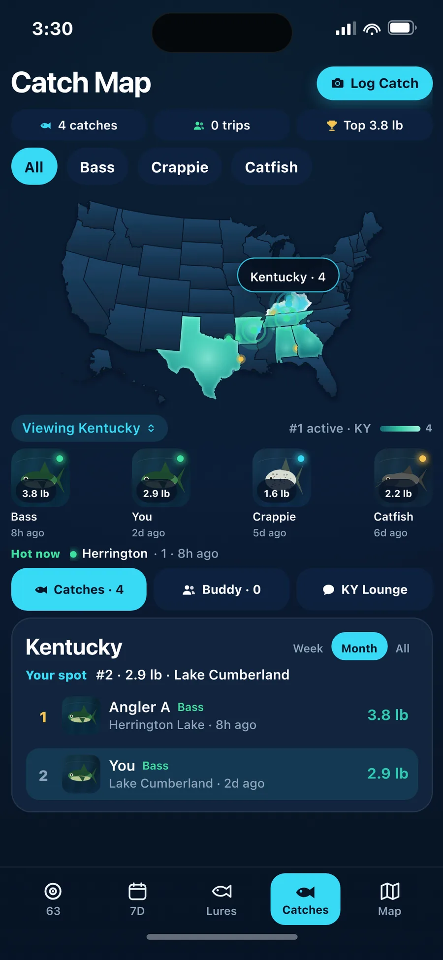
Find a Buddy for your next trip, plan it in a Launch Room, and talk shop with local anglers in your State Lounge, all from Catches.
Catches · Buddy & Lounge
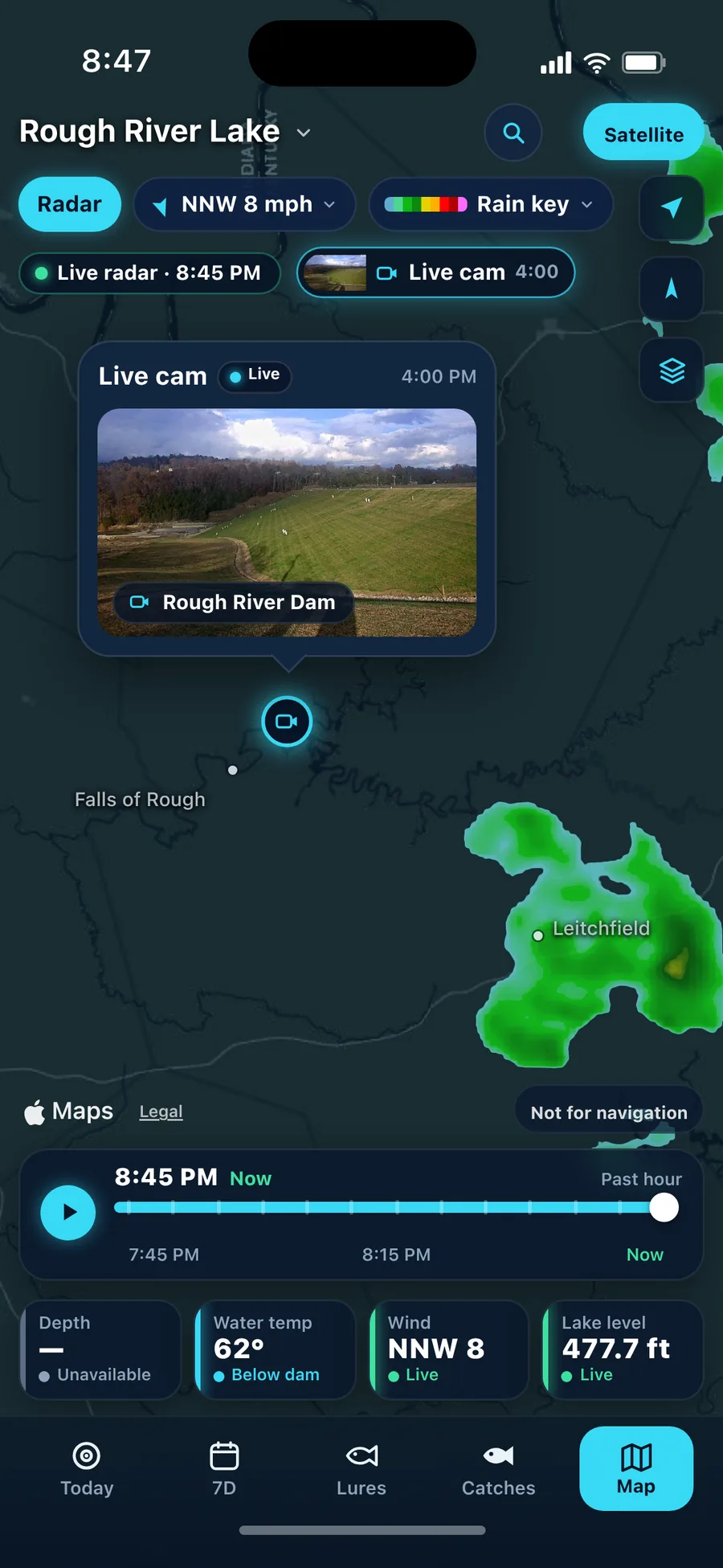
Instead of a separate lake cam
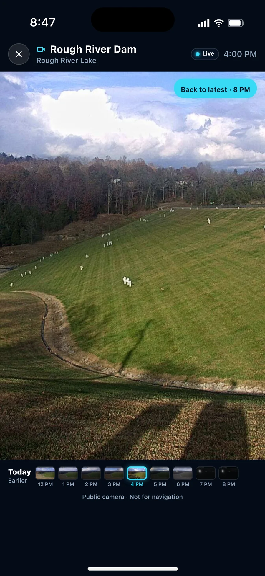
Tap a camera to see its current view right in the app, on select lakes. Tap the camera pin on Map to open it.
Map · Live cam viewer
All of it, in one app
Conditions, Live radar, lake charts, a 24-hour bite forecast, lures, your catches and, on select lakes, Live cam photos. On a regular iPhone or unfolded on a Duo.
iPhone · Unfolded
Today
Pressure, wind, water, light and feeding windows rolled into a single read — with six condition boxes and the next six hours charted. A conditions read, not a catch promise.
7-Day
A bite score for every day of the week, the best window, wind and pressure. Tap a day to open it.
Lures
A best-bait pick for the conditions with real retrieve and depth specs, backups ranked by match, and nearby bait & tackle shops with Call and Directions.
Bite Sonar
Feeding peaks, sunrise and sunset around a single ring, so the good windows jump out. It's a conditions forecast — not a fish finder, not live sonar.
Unfolded Today · Bite Sonar
Live radar
Live national radar right on your lake chart. Play the past hour, with Now on the right. Standard green-to-red-magenta colors, smooth storm edges, and every frame loaded before it plays, so no tiles pop in.
Live radar · 10:10 AM ET, Nov 4, 2026 — Cedar Creek Lake, KY
Live radarPast hour

About 13 scans, 5 minutes apart, play as one smooth loop with Now on the right. The timeline shows the real scan time, so you always know how fresh it is.
Every 5 minutes
The radar refreshes every 5 minutes, so the loop keeps rolling forward. It shows rain that has already fallen, usually a few minutes behind. It isn't a rain forecast, so check it right before you launch.
Rain key
Open the app on a Duo and Today carries a Live radar card beside Bite Sonar. Folded, radar lives on Map.
Live cam
Tap a camera to see its current view right in the app, on select lakes.
Select lakes · Rough River Lake, KY · Medina Lake, TX · Lake Houston, TX · Amistad Reservoir, TX
Availability depends on the camera. Not for navigation.
Lake Chart
A dark chart on Apple Maps — with Satellite when you want it — drawn with surveyed or estimated depth contours, and four readings along the bottom.
Charted depth · not live sonar
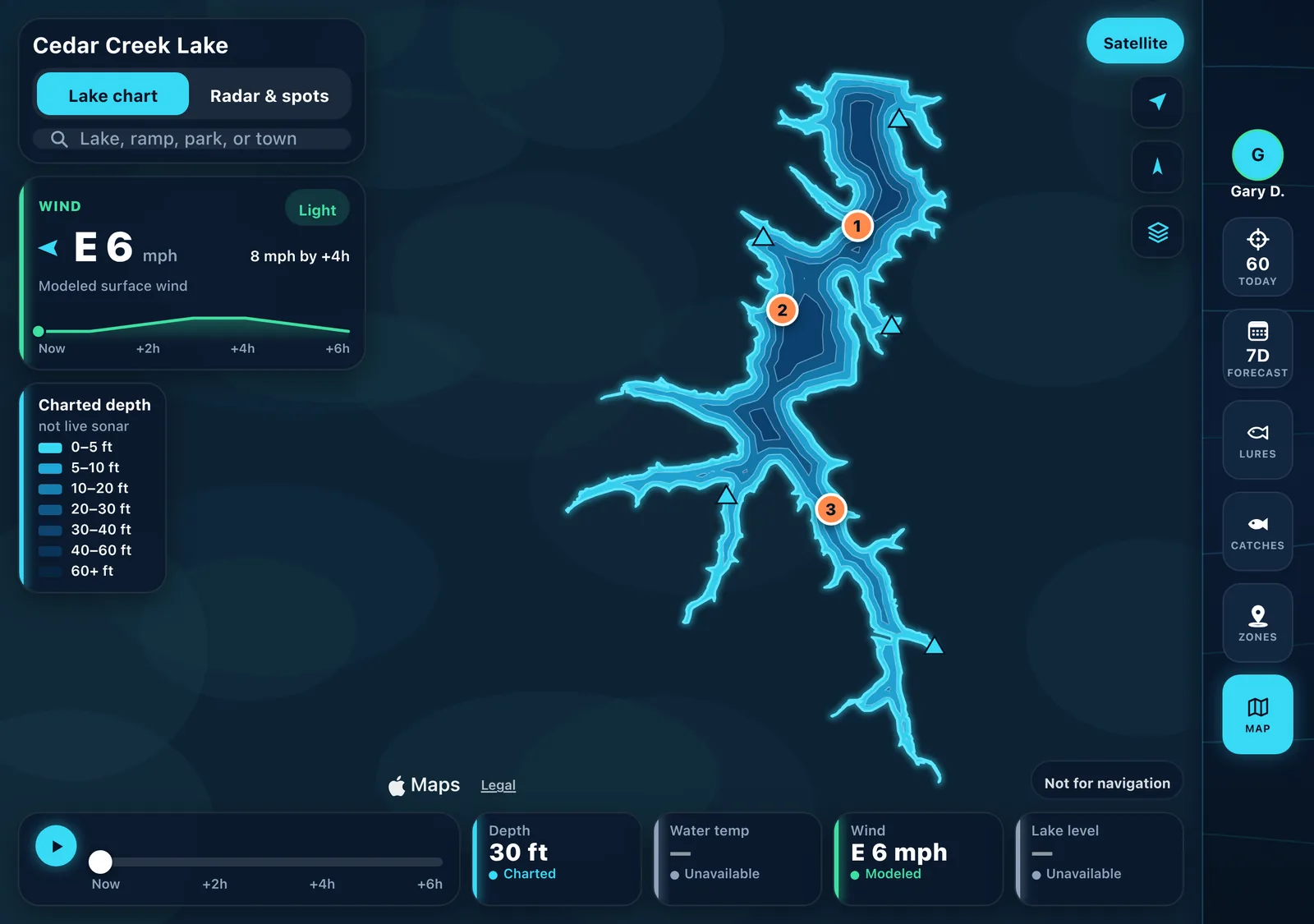
Depths are charted or estimated. They are not live sonar. Not for navigation.
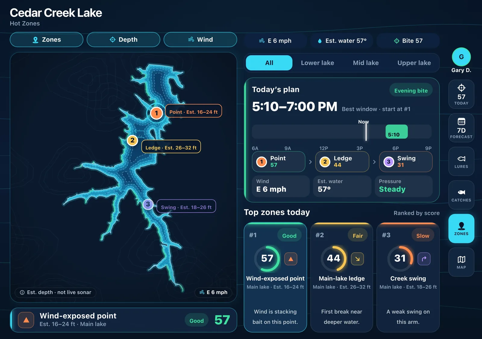
Hot Zones
Today's plan, the best window on a 6A–9P bar, and ranked zone tiles for your lake — all estimates, modeled from wind, depth and conditions. Search a lake and the whole app switches to it.
Coverage
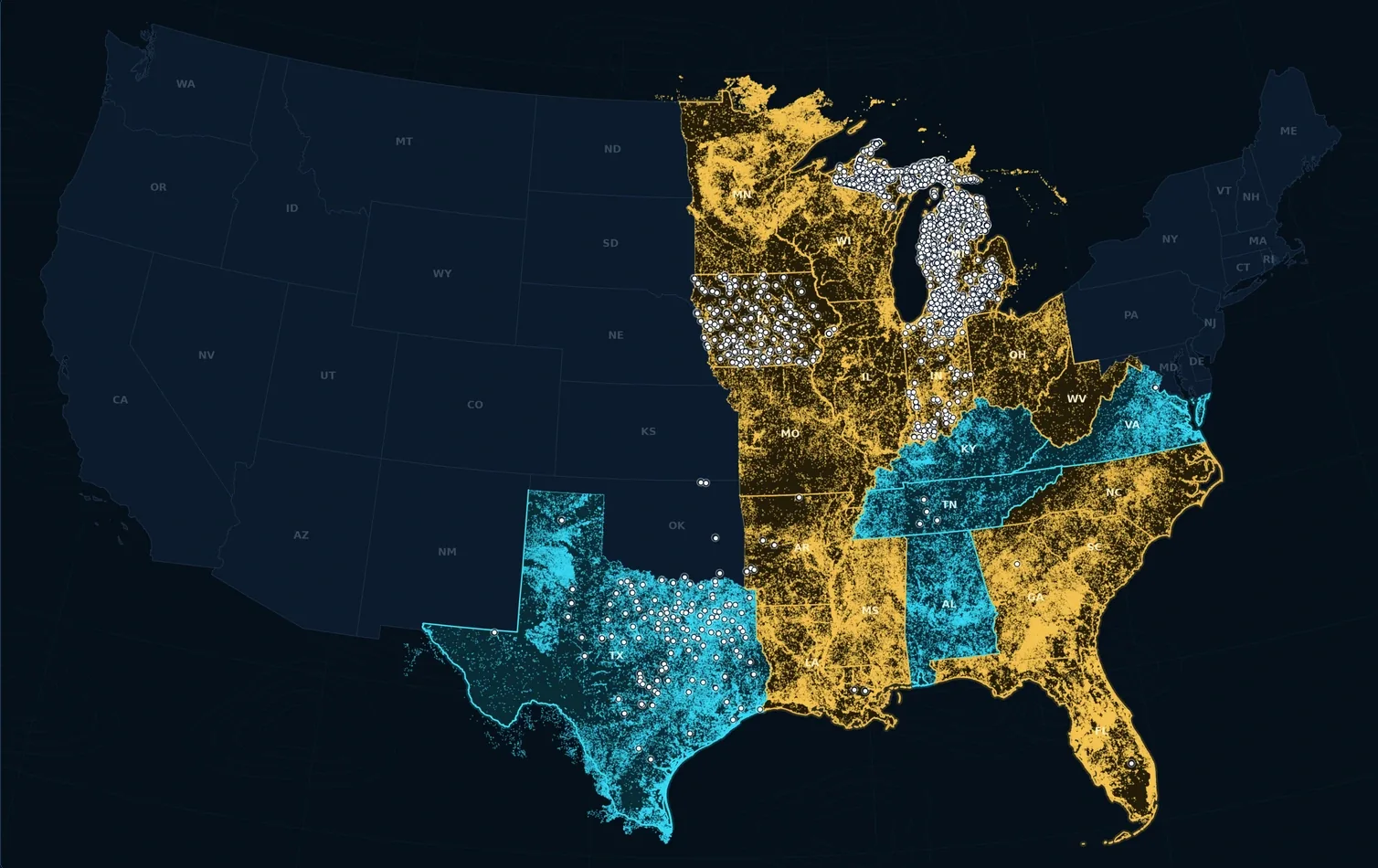
Every dot below is a real lake from real catalogs — 396,364 unique lake IDs across 21 states. Sign in with Apple once, set up your profile, watch one progress bar, and you'll see “Your lakes are ready.”
New
“Bathymetry source: St. Johns River Water Management District (SJRWMD). Data are provided as-is and may not reflect current conditions. Not for navigation.”
Each lake shows its name and survey year underneath. Credit for survey data only — not an endorsement.
21 states
Texas surveyed reservoirs and the other bundled survey packs are in. More states are on the way. Alaska and Hawaii aren't included yet.
Community
Log the catch, share the story, keep the spot.
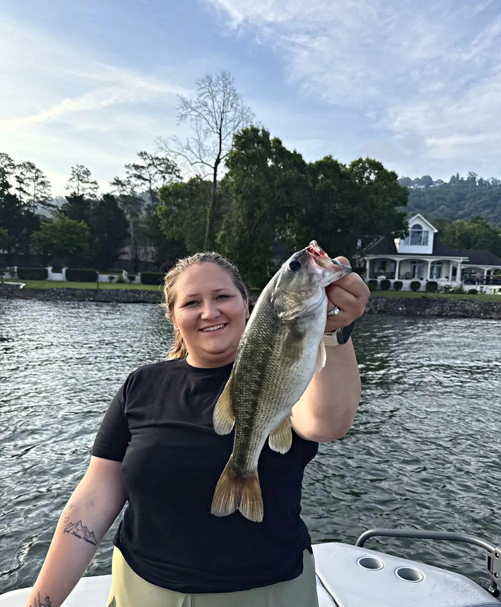
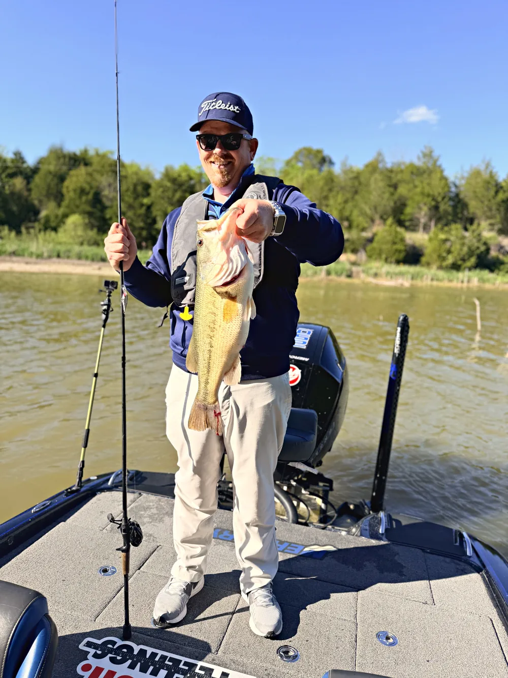
Catch Map
Every catch on a map, by species and state — with a public feed that refreshes automatically while the app is open.
Find a Buddy
Short a partner for Saturday? Find someone who fishes your water.
Lounge
A Lounge for every one of the 50 states to talk shop with local anglers.
Your spot stays yours
Public posts store the lake name and state — never your GPS.
Catch photos
Crop and frame the shot when you post; tap to see it full-screen and uncropped.
Sign in with Apple
One tap to sign in. Community guidelines before your first public post.
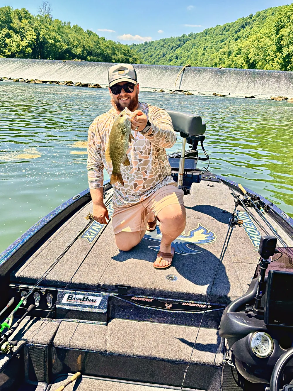


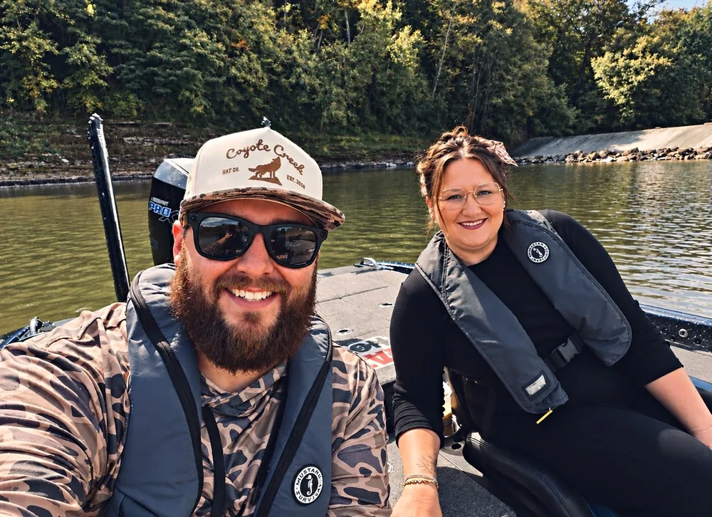
Built by an angler, for anglers
Ofishal Forecast started the way most fishing plans do — checking the weather, then the radar, then a lake map, then texting a buddy, all before sunrise. So we put it in one place.
Every screen is built to answer one question before you hook up the boat: is it worth going today?
Gary Duty Founder · Ofishal Forecast
Available on iPhone
Know when to go.
iPhone · Opens wide on Duo-style foldables